top of page


Koonung Creek(EastLink) -
Mullum Mullum Creek - Diamond Creek - Western/Metropolitan Ring Road - Moonee Ponds Creek -
Capital City Trail - Yarra River
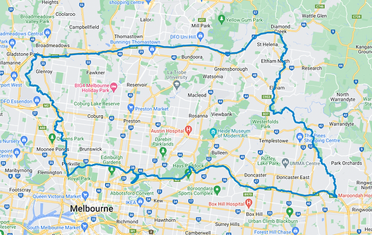
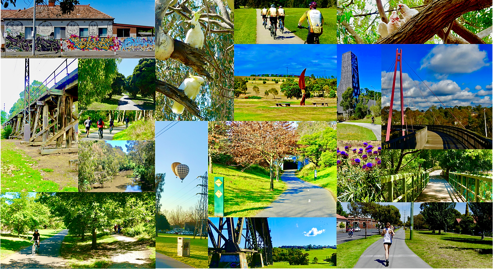
Take a slow day to explore the leafy green northern and eastern trails. This ninety kilometre loop takes you from the edges of the CBD to the edges of outer Melbourne. Navigate your way via creeks, rivers, and parks as well as farms and wetlands. Stop for a picnic in Fairfield Park or take a brief sojourn in a secret green space of your liking. In addition take a camera and seek out wildlife both hidden and visible especially along Mullum Mullum and Diamond Creeks.
bottom of page