top of page


Taylors Creek - Melton Highway
- Stony Hill Creek -
Kororoit Creek -
Western Ring Road - Maribyrnong River
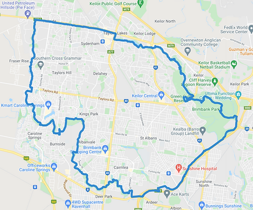


This medium Western loop takes you along dusty trails and leafy green Taylors, Stony Hill, and Kororoit creeks, and Maribyrnong River. Linked in the North by the bike friendly Melton freeway and Western Ring Road Trail in the South, take your time along this surprising loop. Numerous secluded places to take a break in the shade, waterside, or stop off in Taylors Lakes for a coffee and snack.

bottom of page