top of page


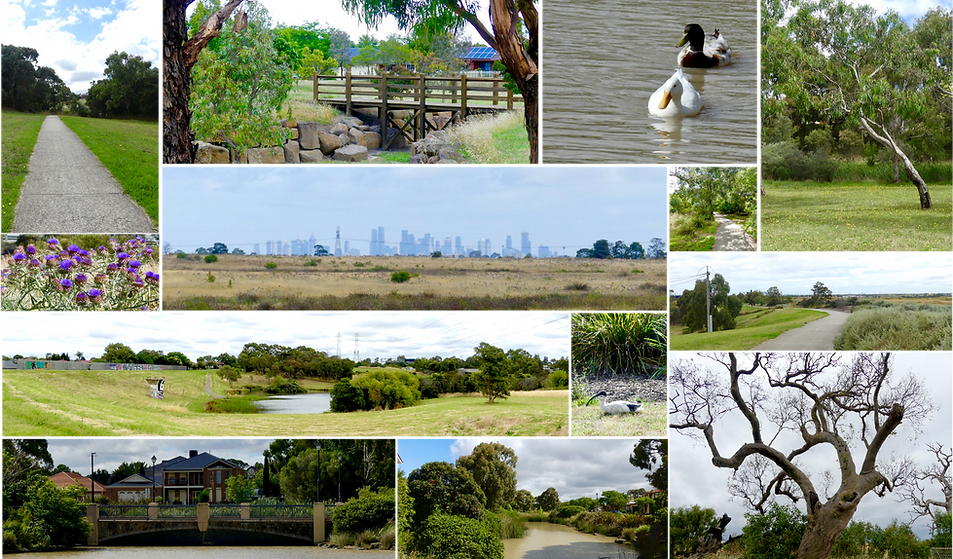
This loop takes you further north to the suburban outskirts of Melbourne than other loops. This 42 km round trip along the less traveled Galada Tamboore Path along the Hume highway as far North as Craigieburn continues along beautiful new and well planned paths through Broadmeadows Valley snaking through, playgrounds and sporting fields in the growing Northern suburbs.
bottom of page